Technology continues to advance in several industries almost every day, allowing us to find amazing ways to do our jobs better. This is especially true for people who work in emergency services. One way that they are using growing technology to make their jobs more effective is turning to 3D mapping for help.
What exactly is 3D mapping? How can it help with saving lives?
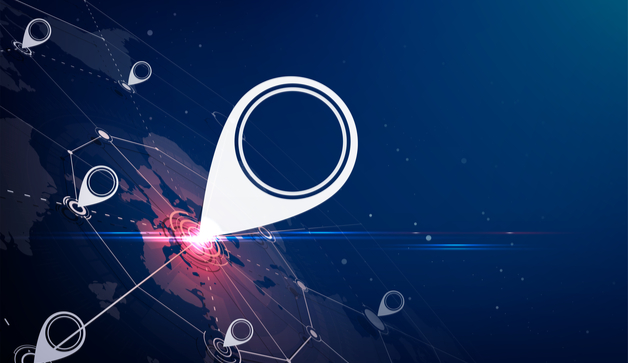
First, 3D mapping, or projection mapping, is a projection technology used to see all sides of an object such as a building or a certain landscape. Such as device would be useful to try and see where the most dangerous of the damages are.
But is that all it can do? Can there really be more to the 3D mapping?
Believe it or not, the answer is yes.
The first scenario that 3D mapping can come in use for healthcare tech is in the case of accidents. Sometimes, the EMT’s must deal with nasty pileups in less than ideal conditions. How will they be able to see what is going on and who needs help?
In the beginning, rescue personnel had to use something called terrestrial laser scanners to create the 3D images they needed to see the damages. This was good at the time, but there was one problem. TLS required multiple set-ups to cover a large area and equipment is often large and bulky. This would not be good when there are many lives at risk. Handling a TLS would less than ideal for an emergency.
Mobile 3D mapping on a drone frees up the EMT’s hands and let them work to save lives much easier. They get a better view of the accident and are much more likely to get the victims the help that they need as soon as possible. On top of that, 3D mapping can help find the safest way out.
The second scenario for 3D mapping in emergencies is natural disasters. Hurricanes, floods, volcanoes, and tornadoes can leave unimaginable damage in its wake. Their damage can spread far and wide. Maps can only go so far to look for survivors in severely damaged areas. 3D mapping can not only find missing people, but it can also assess the risks to critical buildings and infrastructure and prepare for damage related outages that come with natural disasters.
Emergency personnel will see what the worst and weakest parts of a location are to get those people out of the area in the case of an evacuation. The key to all of this is accuracy. 3D mapping can offer clearer reading in their mapping and data. Armed with this, recuse people can find survivors and bodies with much less time. This cannot be achieved with just a map in their hands.
The final scenario where 3D mapping helps healthcare tech is looking inside the body. This would make sense. Sometimes, CT scans and X-rays will not show the doctor what needs to be done. Now, the idea itself sounds like it would come out of a sci-fi novel. But medicine has come a long way in its growth.
3D mapping being used in the world of medicine is not much of a stretch. The cardiology department uses it to their advantage when they are looking for ways to keep hearts healthy that much longer. With 3D mapping, doctors can spot out potential heart problems before they get worse. This goes double for women who have heart problems while they are pregnant.
Doctors will be able to save the lives of moms and babies to the best of their ability. While an X-ray can cause harm to a baby in the first four months of pregnancy, 3D mapping presents a safer alternative to looking for the root of a problem during pregnancy.


